

Madeira
An island that is one mountain, with paths along water channels five centuries old
- When to go
- September 21° · 15 rainy days
- Per day
- €€€price 3 of 5
- How many days
- 5–7days
- For you
- 6 questions →
- Nearest airport
- 14 km Funchal · 71 km Porto Santo
- Right now

Madeira lies eight hundred kilometres south-west of Portugal and five hundred and twenty west of Morocco, and it does not have the thing islands are usually chosen for — long sand beaches. It has something else: a twenty-degree average all year and over two thousand kilometres of water channels with a path beside them.
Levadas are channels that carry water from the wet north-west to the dry south-east, where sugar cane was grown from the sixteenth century. They were cut by hand, with slave labour, right up to the 1940s, and the maintenance path beside the channel became the walking network. The official trails cost €4.50 a head, booked online before you set off.

The easy ones follow the channel with no climb — Levada dos Balcões is short, flat and ends at a viewpoint over the central peaks. The harder ones want a torch for the tunnels and several hours, like the Caldeirão Verde. No rule requires a guide on any of them, but the PR1 along the ridge, from Pico do Arieiro to Pico Ruivo, is rarely walked alone — and it carries its own, higher fee, €10.50 a head: the route is one-way, so your car ends up at the wrong end, and the weather up there turns in half an hour.
The island is worked from Funchal, home to half the population. You land on a runway half of which stands on a hundred and eighty pillars — there was no flat ground for an airport, any more than for the city, which climbs the slope from the bay.
What to see in Madeira
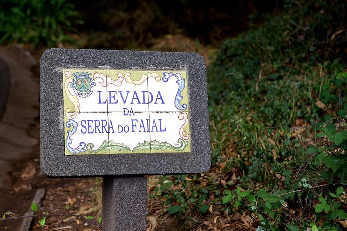
The levadas
The path beside the channel is wide enough for one person and runs almost level, because the water has to move slowly. Balcões is the shortest and flattest, Rabaçal and the 25 Fontes lead to waterfalls, and Caldeirão Verde wants half a day. There is often no railing on the drop side, so in rain you move slower than the map suggests.
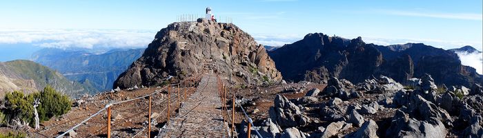
Pico do Arieiro and Pico Ruivo
You can drive tarmac almost to the viewpoint on Arieiro, at one thousand eight hundred and eighteen metres. From there it is seven kilometres and about three and a half hours to Ruivo, the island's highest point at one thousand eight hundred and sixty-one, through tunnels and up staircases. Ruivo cannot be reached by car at all.
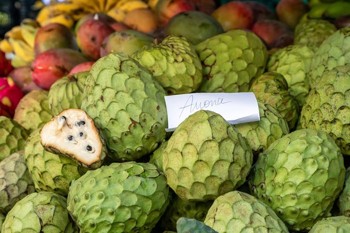
Funchal and the Lavradores market
A city of a hundred and five thousand, with a cable car to Monte and wicker toboggans that slide down the tarmac instead of taxis. The market runs in the morning — bananas half the usual size, the big-eyed black espada, and sellers pushing a piece on a toothpick at you before you've asked the price.
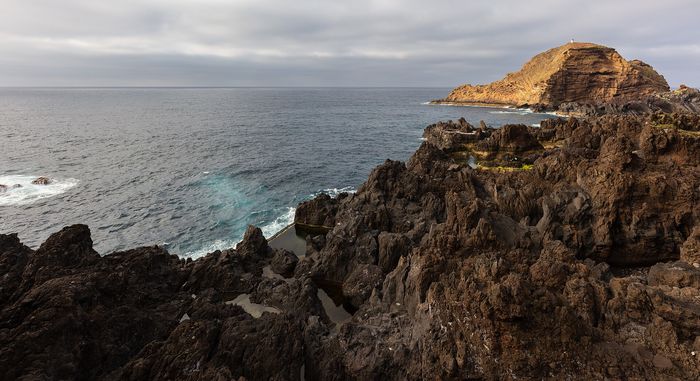
The pools at Porto Moniz
On the north-western corner of the island, in lava that cooled in the sea, sit pools the ocean fills by itself. The water is colder than in the south and waves can wash over the rim — the managed section charges a token fee, the natural one is right beside it.
Madeira wine and poncha
The wine is heated for months to repeat what long sea voyages once did to it. It runs from dry Sercial to sweet Malmsey, and an opened bottle survives for years. Poncha is another matter: cane spirit, honey and lemon, drunk before anyone measures it.
New Year's Eve
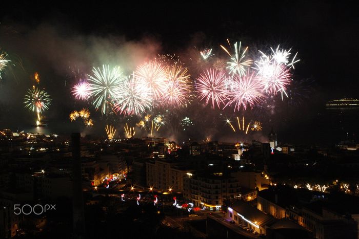
Funchal's bay is an amphitheatre and the whole shoreline watches the same fireworks, which once held the official world record for the number of shells fired, until other cities passed it. Hotels sell from summer onwards, and ships line up in the bay that night to watch from the water.


Two things you probably did not know
Madeira has two and a half thousand kilometres of levadas, narrow channels that carry water from the rainy north to the dry south. They have been cut since the fifteenth century, partly by enslaved labour, and are now also a network of walking paths.
The laurisilva, Madeira's laurel forest, is a remnant of woodland that covered southern Europe millions of years ago. It survived only here and on neighbouring islands, and has been UNESCO listed since 1999.
Ready for Madeira?
Within reach from here
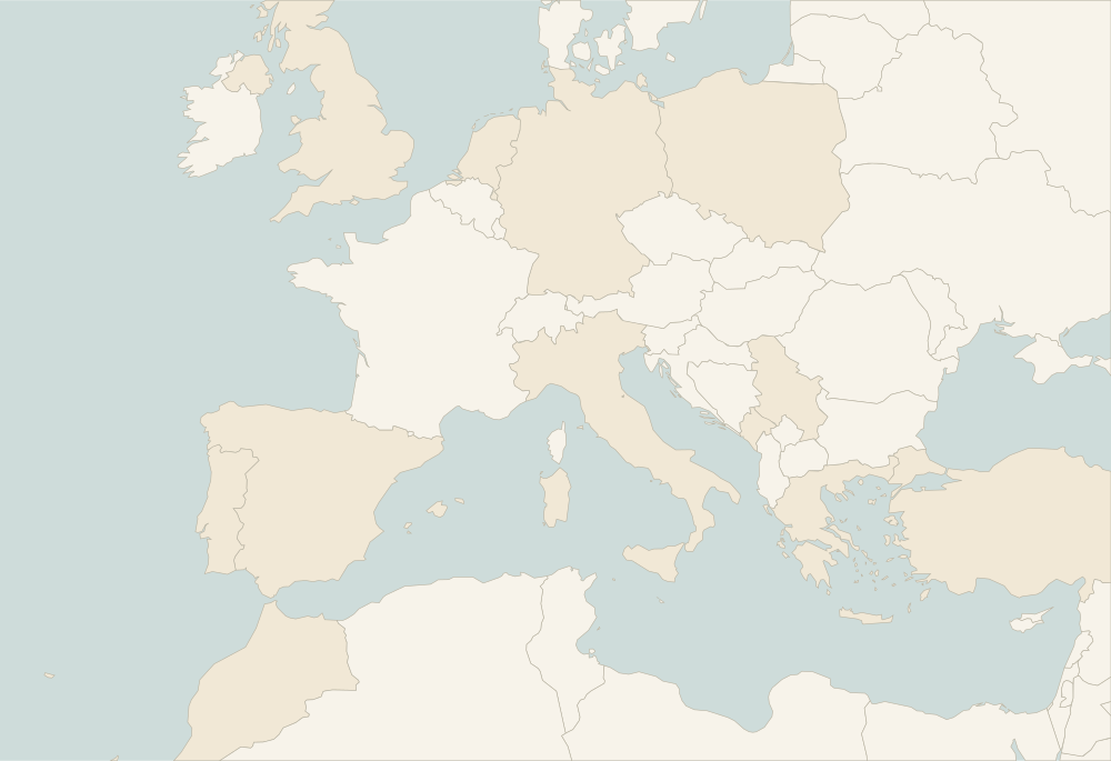
Places sorted by straight-line distance from Madeira — day trips or weekends.


All 277 places we write about sit on one page — narrow them down by continent, country, price or what you are travelling for.
Within reach from here: Essaouira, Marrakech and Casablanca
See how much of that actually suits you — or pin Madeira if you have been.
Front row for the next trip
Leave your email and we'll let you know when a new destination or story goes up.